For four hundred years, we called it America’s oldest mystery. A map sitting in a London museum told a different story.
August 18, 1590. John White’s boat cuts through morning fog toward Roanoke Island. It’s his granddaughter’s third birthday. He’s brought gifts from England — a doll, fabric for a dress, things a three-year-old girl might want. He’s three years late.
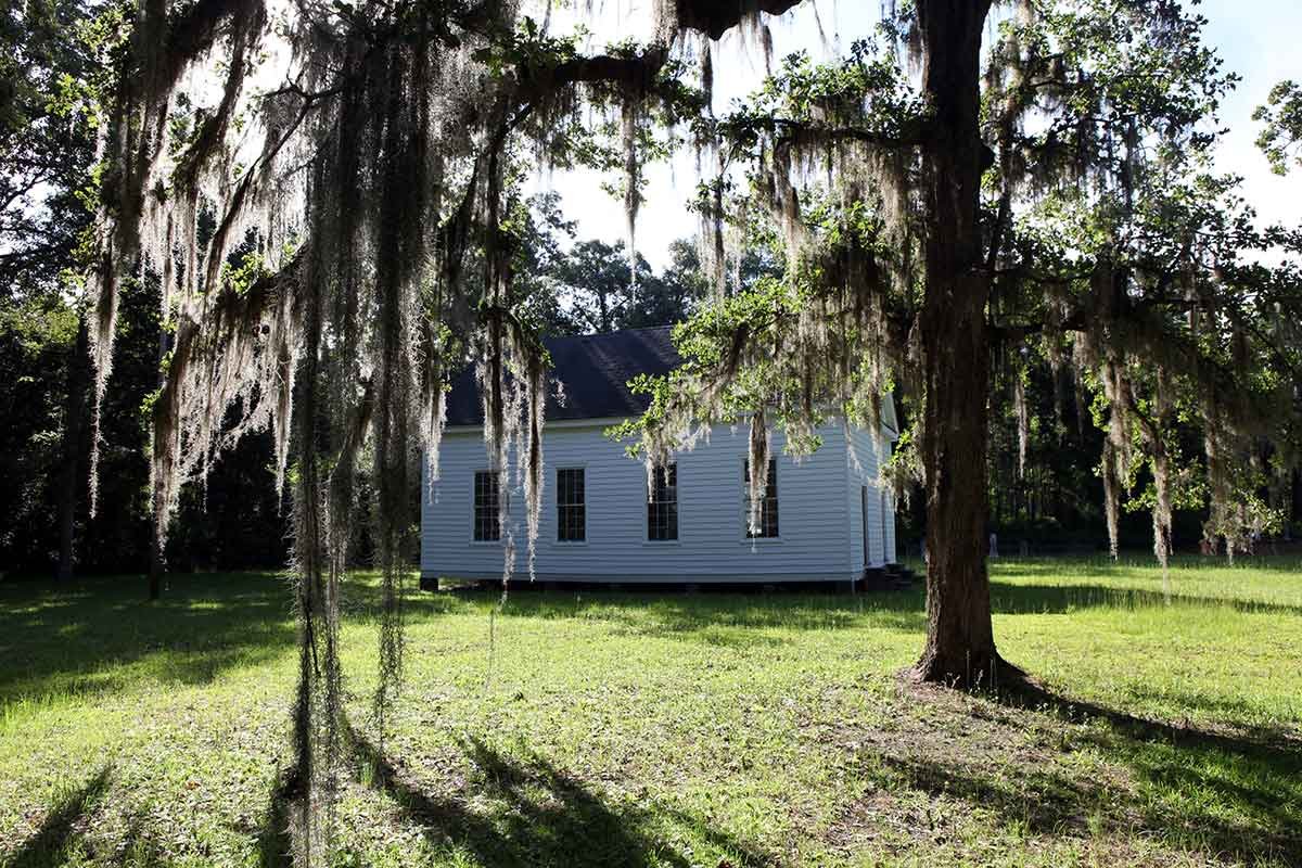
The crew rows closer. They shout. They fire guns into the air — the signal they’d arranged. Silence. White steps onto the beach and walks into the settlement. The houses are gone. Not burned. Dismantled, as if someone carefully took them apart planning to rebuild somewhere else. No bodies. No graves. No signs of struggle. Just grass growing where floors used to be. And a word carved into a post.
CROATOAN.
For four hundred years, we stared at that word and called it a mystery. It wasn’t a mystery. It was a message. And in 2012, we finally found the map that explained where they went.
The Hidden Symbol
In 2012, researchers at the British Museum were examining John White’s original 1585 map of Virginia — preparing it for an exhibition — when they noticed something unusual. A patch. A small piece of paper glued over a section of the map. They’d seen it before and assumed it was covering a mistake. No one had ever looked under it.
When they examined it with X-ray spectroscopy, they found something hidden beneath: a symbol for a fort, drawn in a manner that had been carefully concealed. The location was fifty miles inland from Roanoke Island, at the mouth of the Chowan River.
Why hide it? Possibly to keep the site secret from Spanish raiders who might capture English maps. Or perhaps White was protecting a backup plan — a place the colonists could flee if the island became untenable. We know from White’s own journals that before he left in 1587, the colonists had discussed relocating “fifty miles into the main.” They were planning an escape route. And White marked it on his map. Then hid it.
When archaeologists excavated the site in 2015 — now called Site X — they found proof. English artifacts from the 1580s. Border Ware pottery, a style of ceramic that fell out of use by the early 1600s, meaning these pieces were in the ground before Jamestown was founded. Aglets — the small metal tips that kept Elizabethan clothing laces from fraying. Gun parts. Writing slates. A signet ring. The kind of personal belongings you don’t trade away.
The evidence suggests the Roanoke colonists didn’t vanish. They relocated. And then — slowly, over years — they dissolved into a landscape that didn’t keep English names.
England’s Desperate Gamble
To understand why anyone was on Roanoke Island in the first place, you need to understand England in 1584. Desperate. Watching Spain pile up gold from the Americas while England had nothing. Sir Walter Raleigh convinced Queen Elizabeth that North America could be England’s answer — a base for raiding Spanish ships, maybe a source of wealth to rival Spain’s colonies.
The location they chose was Roanoke Island, a strip of sand behind the Outer Banks of what is now North Carolina. On a map it looked ideal: protected from ocean storms, close to the mainland. On the ground, the soil was acidic sand that wouldn’t grow English wheat, the inlets were too shallow for large ships, and the island sat at the boundary of several Algonquian nations who had their own politics, their own wars, and no particular reason to welcome armed foreigners.
The colonists built their future on sand. Literally.
In 1585, England sent over a hundred men — soldiers, scientists, mapmakers. Their leader, Ralph Lane, was paranoid and aggressive. When supplies ran low and local tensions peaked, he killed a tribal leader named Wingina. By 1586, the men were starving. When Sir Francis Drake’s ships appeared offering passage home, every single man abandoned Roanoke. The first colony lasted less than a year.
But England wasn’t done. Too much money spent. Too much pride at stake. In 1587, they tried again. This time, they sent families.
The Families
About one hundred and seventeen people arrived at Roanoke in 1587. Not soldiers. Families, children, elderly — people who had been promised land and a fresh start. Their governor was John White, the same artist who had mapped the region two years earlier.
The plan was to settle farther north, in the Chesapeake Bay, where the soil was richer and the harbors deeper. But the ship’s captain, Simon Fernandes, refused to take them any farther. He dropped them at Roanoke Island and left. The colonists found themselves back at the burned ruins of Ralph Lane’s fort, with no choice but to stay.
They rebuilt. Planted gardens that wouldn’t cooperate. Tried to repair relationships with the Croatoan people — one of the few groups that hadn’t been alienated by Lane’s violence. White made maps. Marked possibilities.
On August 18, 1587, White’s granddaughter was born. Virginia Dare — the first English child born in the Americas. But supplies were running out, and White made a painful decision. He would sail back to England, return within months with resupply, and be back before winter. He kissed his granddaughter goodbye. He had no idea it would be three years before he saw Roanoke again.
The Silence
John White reached England in November 1587. By then, the world had changed. Spain was assembling the largest invasion force in history — one hundred thirty warships, thirty thousand men. The Spanish Armada was coming to destroy England, and every English ship was seized for the war effort. White’s attempts to get back were blocked, delayed, and ultimately undone by war.
Across the ocean, Roanoke waited. A mother rationing food and telling her daughter the ships will come in spring. Spring arriving with an empty horizon. By the second winter, they’d stopped looking for sails. Three years is long enough for hope to die. Long enough to realize England has forgotten you. Long enough to make a different choice.
The Empty Island
When White finally returned on August 18, 1590, the settlement had been carefully dismantled — houses taken apart, belongings removed. This wasn’t destruction. It was an orderly departure. No bodies. No graves. No cross carved above the post to signal distress. Just two carvings: “CRO” on a tree, and “CROATOAN” on a post.
The message was clear. We relocated. We went to Croatoan. White wanted to sail there immediately — fifty miles south, to the island where Manteo’s people lived. But a hurricane was building. The captain refused. They left. White never saw his family again.
For four hundred years, we assumed the colonists went to Croatoan Island. Until we looked under the patch on White’s map.
The Split Colony
The hidden fort symbol on White’s map pointed inland — to Site X, fifty miles from the coast. The artifacts dug there prove English people lived at that spot in the late 1500s. So which is it? Did they go to Croatoan Island, like the carving said? Or inland, like the map suggested?
The answer is probably both.
The emerging theory is called the Split Colony. The hundred and seventeen colonists divided to increase their chances. A small group — perhaps ten or fifteen people — went to Croatoan Island. They carved the message. Waited for ships. Maintained contact with Manteo’s people. But the families, the women, children, and elderly, went inland to Site X. Fresh water. Rich soil. Forest thick enough to hide in. Fifty miles from Spanish raiders. Fifty miles from resupply. Fifty miles from rescue. But it meant survival.
By 1607, when English colonists arrived at Jamestown farther north, they heard rumors — secondhand, uncertain accounts of people with European features living among Indigenous communities. Reports of mixed groups caught in regional conflicts they hadn’t started. Some researchers point to oral histories among the Lumbee Nation and other tribes in the region. DNA studies have suggested possible European ancestry from the late 1500s, though these findings remain debated.
What seems clear is this: the Roanoke colonists didn’t disappear. They fragmented. Adapted. Intermarried. Some may have lived for decades, raising children who spoke Algonquian, wore deerskin, and barely remembered England.
Why We Called It a Mystery
We have the map. We have the artifacts. We have the journals. We’re closer than ever to knowing what happened. So why did it take four hundred years?
Maybe because the answer isn’t dramatic enough. There was no massacre. No heroic last stand. No single moment where everything went wrong. Just people making a choice. They walked away from being English. Their children learned new words, wore different clothes, and became something the history books didn’t have a category for. Colonial stories are supposed to end in glory or disaster. This one ended in something quieter and harder to name.
The Lumbee have a saying: “We were here before they knew where ‘here’ was.” The colonists at Jamestown barely survived — saved by Indigenous neighbors. The Pilgrims at Plymouth survived the same way. But Roanoke came first. A story carved in wood and hidden on a map. The colony didn’t vanish into nowhere. It vanished into somewhere — into families and bloodlines already woven into this place, into a landscape that doesn’t preserve your story so much as change it.
In 1590, John White sailed away carrying birthday gifts for a granddaughter he never saw again. But somewhere in the Carolina forests, in the families still here, in the long thread connecting then to now — she lived on. Not as Virginia Dare. As someone new.