Two British surveyors. A property dispute. And one of the most loaded boundaries in American history.
Charles Mason and Jeremiah Dixon were two British surveyors hired in the 1760s to settle something decidedly unglamorous: a border dispute between Pennsylvania and Maryland. For four years, they trudged through forests and wilderness, carving a precise line across the landscape one measurement at a time.
To them, it was a property boundary. Nothing more.
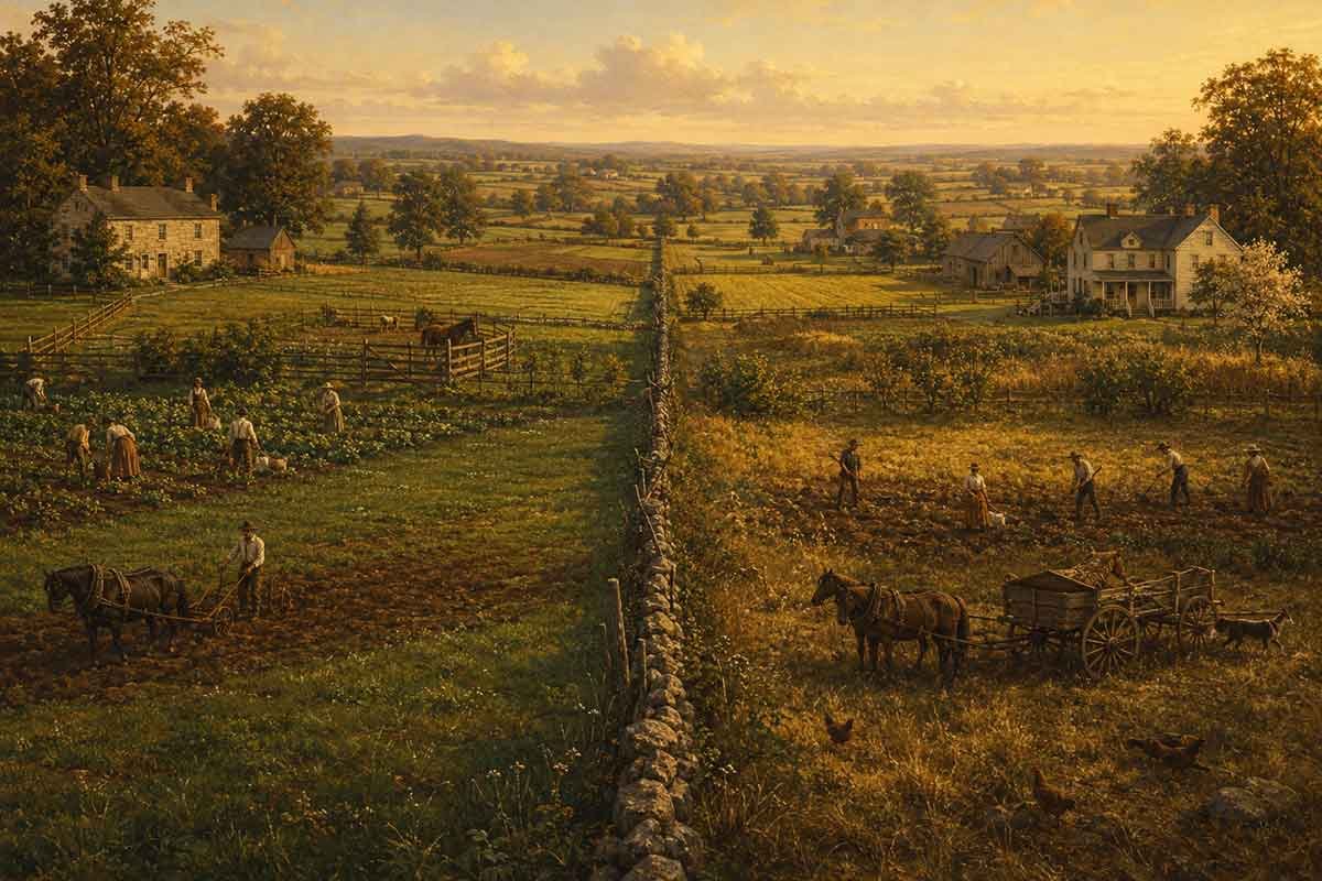
History had other ideas. Over the following century, as tensions over slavery pushed the United States toward civil war, that surveyor’s line became the symbolic dividing line between North and South — between free states and slave states, between two visions of what the country was supposed to be.
The Mason-Dixon Line didn’t create the divide. It just gave it a name.
The men who drew it never could have imagined what it would come to mean. Mason and Dixon were mathematicians doing a job. The weight the line carries today was placed there by history — by politics, by war, by the long argument over slavery that America couldn’t resolve without tearing itself apart.
It’s still one of the most recognized boundaries in the country. And it started as a disagreement between two neighbors about where one colony ended and another began.